The Research Institute for Earth Sciences on Friday released a report about a new seismic fault identified in Tehran.
A study conducted by Morteza Talebian, a seismologist, said the fault is located between the two parallel highways of Hakim and Shahid Hemmat, in the vicinity of Pardisan Park and Milad Tower, District 2 of Tehran Municipality (TM).
“According to our research, the fault can produce magnitude 6.2-6.3 earthquakes, while quakes stronger than 5.5 on the Richter scale can destroy many residential buildings in Tehran,” said the researcher, Khabaronline reported.
The news of ‘a big fault’ in District 2 have raised questions among residents living in Shahrk-e-Gharb, Saadat Abad, Gisha, Sattarkhan, and Molasadra neighborhoods whether they may be at risk in the event of a devastating earthquake.
“Although their fears are not unfounded, the concern over major seismic fault lines in the city, like the North Tehran Fault, is not a new issue,” said Mahdi Zare, professor of engineering seismology and faculty member of the Tehran-based research institute.
“The North Tehran Fault destroyed the present-day Qeytariyeh neighborhood around 3,200 years ago,” he noted. The possibility of high-magnitude earthquakes within Tehran metropolitan area is inevitable “as the region is prone to earthquakes” and has seen severe devastation in the past.
A fault in the southern part of Tehran Province destroyed Varamin and Pishva counties around 650 years ago.
Since many years, experts have been warning that the capital city of 12 million is prone to earthquakes bigger than 6-7 on the Richter Scale that have the capacity to destroy most of the residential buildings and cause huge loss of life “but no authority has taken the warning seriously,” Zare maintained.
Identification and scrutiny of fault zones is a continuous process. During the last couple of decades, the length of the Kan and Niavaran fault lines has increased by 4 km and 13 km, respectively.
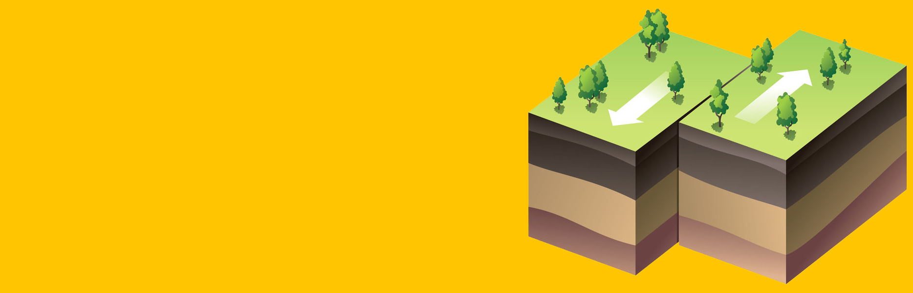
There are four major faults around Tehran, including Mosha-Fesham, North Tehran Fault and South and North Rey faults, and experts say Mosha-Fesham and Rey faults are susceptible to a Richter 7+ magnitude.
From among 80 sq km of fault zones in Tehran Province, 47 sq km are in the capital. Areas around the fault lines are more vulnerable in the instance of an earthquake, and therefore construction within fault zones should be restricted.
Recommendations Not Implemented
In June last year, the Roads, Housing and Urban Development Research Center developed fault maps for the capital’s 22 districts. Although work on the development of the maps started in 2008, there were some disagreements on the precise location of some fault zones.
The center’s proposals were sent to the Supreme Council for Urban Planning and Development for approval and to be notified to the TM.
As per the proposals, construction of buildings with more than 12 stories, as well as hospitals and emergency centers in fault zones, should be banned. However the recommendations have not been implemented yet.
Another step to prepare the city for earthquakes is to retrofit old structures in distressed areas.
According to past reports, the total length of eight fault lines in Tehran Province is 410 km of which 249 km are in Tehran city. “The fault zones cover 6% of the provincial land area,” said Mohammad Shekarchizadeh, head of the research center.
Tehran is among the world’s top 10 cities prone to severe damage if a major earthquake occurs.
Experts have often emphasized the critical need for making buildings resistant against natural calamities. Currently, 1.1 million people in the metropolis live in dilapidated building, official figures say.
There is urgent need for some sort of regulatory body to ensure that all structures in the risk areas are quake-resistant. Buildings in distressed areas should also be renovated to withstand high-magnitude quakes.
There are a lot of measures that can be incorporated into buildings to make them quake-resistant. While modifications can be made even after they’re constructed (seismic retrofitting), the builders also need to ensure that the ground on which the structures come up aren’t prone to ‘liquefaction’ during a quake.
In an earthquake, solid earth turns liquid in some places. This “liquefaction” can be the most destructive part of the disaster.
Scientists and engineers have devised methods and models to test different sediments and predict where liquefaction is most likely to occur. This can help city planners avoid liquefaction-susceptible areas when placing important infrastructure like hospitals, dams or gas pipelines that can burst and start fires in an earthquake.
Iran is one of the most seismically active countries in the world, as it straddles several major fault lines that cover at least 90% of the country. In sum, there are 350 fault lines in the country, each over 20 km long.
As a result, earthquakes in the country occur often and some in recent times (like the 2003 Bam earthquake) have been very destructive, causing massive loss of life and property.