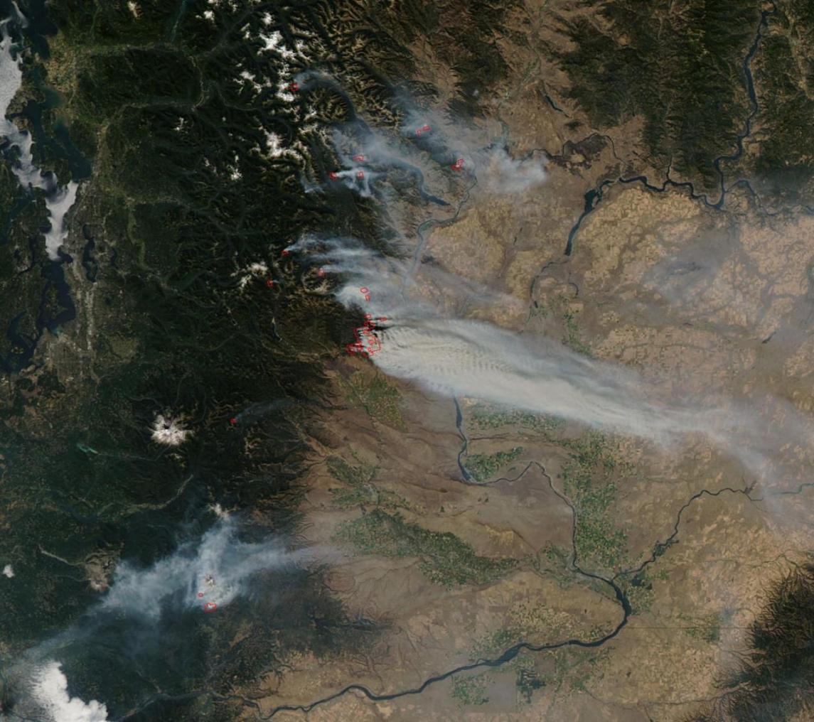
Spatial technology will be used to prevent forest fires in the northern regions. The Iranian Space Agency (ISA) is negotiating with the Department of Environment (DoE) to utilize its satellites to monitor the country’s northern forests, IRNA reported.
“We will cooperate with DoE to protect the forest environment. With the help of ISA satellites, in the event of any fire incidents, we will be able to inform the nearest ranger via short text message, so action can be taken to extinguish the fires immediately. The agency’s top priority is making geospatial knowledge practical, so people can experience better life based on spatial advancements,” said Hamid Fazeli, head of ISA.
He noted that the agency has the support of the presidency “for its development” and pointed out that $ 50 million has been allocated to ISA activities, of which $10 million has been received so far. “We have no concerns about funding,” he said.
In Agriculture
The agency chief also said as a rule it takes a year of monitoring to provide information about rice crop production and send it to the agriculture jihad ministry. The ministry then sends the data to the industries,mines and trade ministry to decide on rice imports. “But by using spatial technology, ISA will be able to provide detailed information on rice cultivation, the extent of damage, the amount of used and wasted water and all other required data to the industries ministry, within 10 days only,” he asserted.
Caspian Sea pollution and air particles monitoring is also easily possible with spatial technologies.
Further, ISA has provided environmental information data to neighboring countries; this has led to requests by other countries to expand the agency’s activities at the global level.