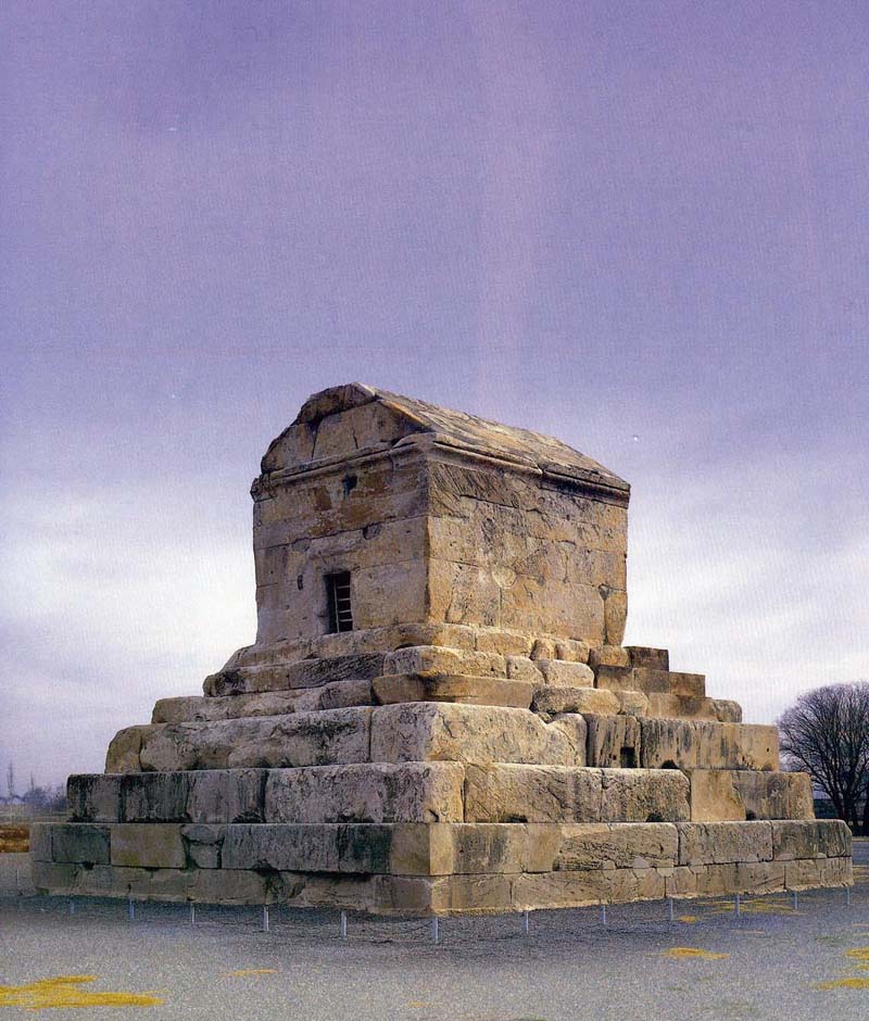
A project to draw up an archeological map of Pasargadae, an ancient city and world heritage site in Fars Province, has begun.
"This project is a follow-up on studies carried out in the past decade," ISNA quoted Hamid Fadaei, the heritage site’s manager, as saying.
"Morghab and Pasargadae plains are currently being studied. The acquired data will be entered in a geographic information system to create comprehensive database."
A geographic information system is a computer system for capturing, storing, checking and displaying data related to positions on Earth's surface. Data in different forms, including the location of rivers, roads and vegetation, can be entered into the system.
Once the map is produced, it will be made available to authorities overseeing development projects to give them a perspective of the site's buffer zones (cultural heritage sites' boundaries that are divided into three areas, from closest to the furthest from the main site).
A buffer zone provides an additional layer of protection to a world heritage property, separating it from other sites and ensuring no harm comes to the site.
Pasargadae, which also hosts the tomb of Cyrus, was designated a UNESCO World Heritage Site in 2004 during the World Heritage Committee’s 28th session in Suzhou, China.
The city served as the Achaemenid Empire’s capital under Cyrus the Great in 6th century BC.