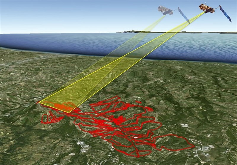
Iran has sold a series of aerial topographic maps to a number of regional countries. Thanks to its homegrown satellites, Iran has acquired the knowhow to produce detailed topographic maps, for both civilian and military applications, Tasnim News Agency reported on Sunday. After receiving raw images from the satellites, launched by domestically-made carriers, Iranian experts process the data and produce topographical maps on different scales and for various applications. Now seen as a commodity, the maps have been sold to a number of regional countries to be used for trade and military purposes. The maps are utilized in a broad range of fields, such as ground, sea and air navigation, border protection and environmental studies.
Iran is now working on its latest satellite carrier, Simorgh, whose first generation is capable of carrying communications and sensing satellites as heavy as 100 kg to orbit 500 km above the earth.
Only a handful of countries are capable of designing and building such a rocket.
Iran successfully launched into orbit its first indigenous data-processing satellite, named the Omid (Hope), in February 2009.