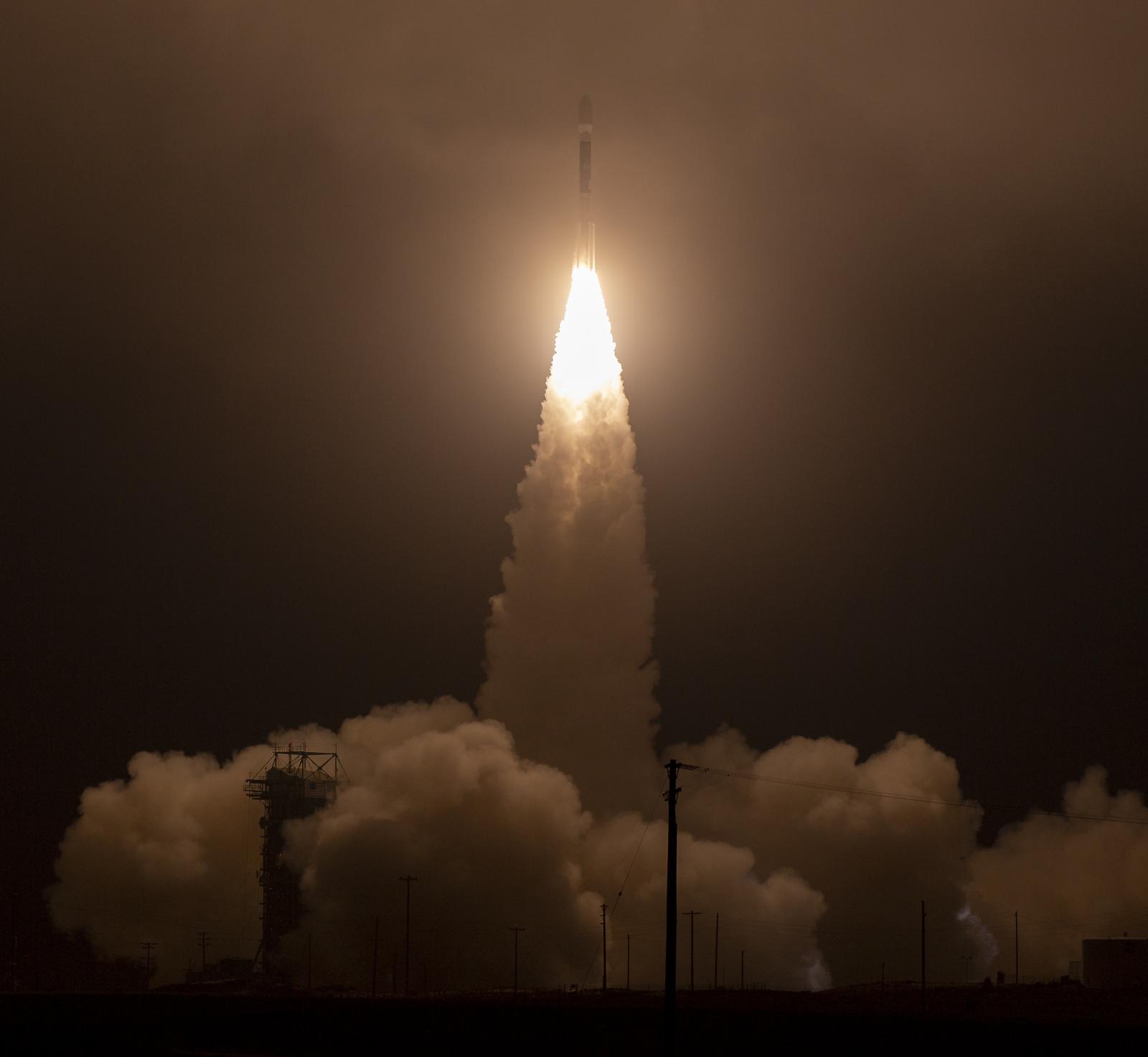
A $1 billion NASA mission that will use a laser to track changing ice levels on Earth soared into space early Saturday, launching into a predawn California sky on a mission that also marked the final flight of a record-setting rocket.
NASA’s Ice, Cloud and Land Elevation Satellite-2, or ICESat-2, lifted off at 9:02 a.m. EDT (1302 GMT) from Space Launch Complex-2 at Vandenberg Air Force Base in Southern California. The launch marked the unprecedented 100th successful flight of the Delta II rocket built by the United Launch Alliance (ULA), which over the course of 30 years lofted the first GPS satellites, deployed commercial telecommunication constellations and sent NASA robotic probes to explore and study the moon, Mars and the asteroids, Space.com reported.
“It’s been a very, very prominent part of space history,” said Scott Messer, program manager for NASA programs at ULA, during a pre-launch press conference Wednesday.”
“Wow,” NASA launch director Tim Dunn said after the successful liftoff. “It was a thrilling day.”
For its final mission, the Delta II flew in its 7420-10 configuration, outfitted with four Graphite Epoxy Motor (GEM) side-mounted boosters, which were jettisoned 1 minute and 22 seconds into the flight, and a 3-meter payload fairing, which was similarly disposed of about 4 minutes later as the rocket climbed into space. The Delta II’s second stage engine completed the first of its four planned burns 11 minutes after liftoff, placing it into an initial elliptical transfer orbit.
The Delta II’s second stage AJ10-118K engine reignited for 6 seconds about 47 minutes into the mission before deploying ICESat-2 into orbit. Twenty-three minutes later, the stage fired again to set up the release of four small satellites.
The tiny CubeSats were designed and built by UCLA, University of Central Florida, and Cal Poly to conduct research in space weather, changing electric potential and resulting discharge events on spacecraft and damping behavior of tungsten powder in a zero-gravity environment.
The final telemetry in Delta II history was expected about 2 hours after launch, sometime prior to the second stage impacting and sinking into the South Pacific Ocean.
Meanwhile, the ICESat-2 mission is getting underway. The ICESat-2 spacecraft serves as a power and pointing platform for the mission’s single instrument, the Advanced Topographic Laser Altimeter System, or ATLAS.
“We’re not going to turn ATLAS on for about a week and then we’re just checking it out. We don’t open up the [telescope] door for about another week. And then we start collecting early data from ATLAS, turn on the lasers and start our commissioning process,” said McLennan, adding that the commissioning period will last about 60 days.
Once the science mission begins in earnest, ATLAS will begin directing 10,000 pulses of green light per second at Earth to record how long it takes some of those photons to bounce back. The transit time can be used to calculate ultra-precise elevation measurements from space, providing researchers with a map of changing ice levels and tree growth.