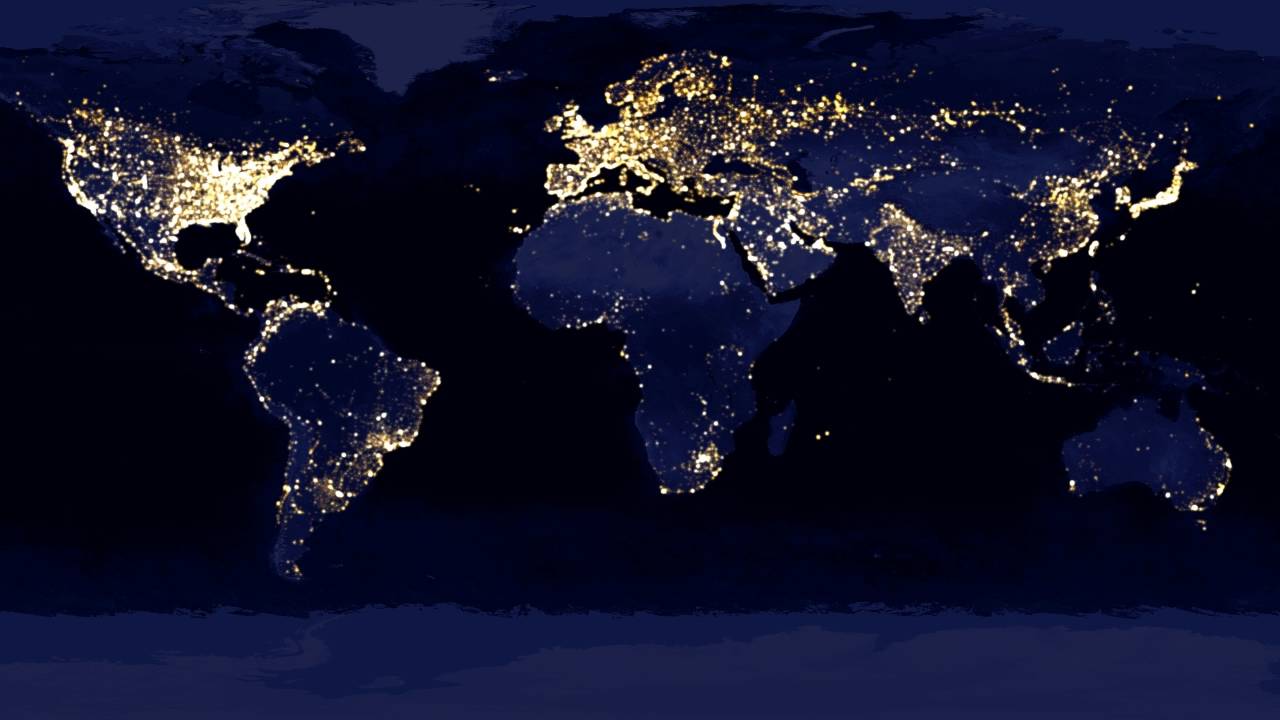
You can get a pretty good idea of a country’s wealth by seeing how much it shines at night.
However, nighttime lights don’t tell you which neighborhoods or villages within a large region are merely poor and which are home to people living in abject poverty. That’s the level of detail policymakers need when they decide where to implement their economic development programs.
Researchers at Stanford University, USA, came up with a new way to get computers and satellites to get this detail.
According to The Bulletin, their computer model’s predictive power is at least as good as methods that rely on data from outdated surveys.
The Stanford approach requires a few key ingredients. Some kind of data that covers every single place where people live, a smaller amount of data that you know is pretty accurate and a powerful computer that can calibrate the trove of “noisy” data to the smaller amount of reliable data.
The researchers tested their system with five African countries: Nigeria, Tanzania, Uganda, Malawi and Rwanda and started with nighttime images. Places that were brighter at night were presumed to be more economically developed than places that were dim.
Then they had their computer program compare the nighttime images to higher-resolution daytime images available via Google Static Maps. The program was able to recognize certain shapes in the daytime pictures that were correlated with economic development.
“Without being told what to look for, our machine learning algorithm learned to pick out of the imagery many things that are easily recognizable to humans—things like roads, urban areas and farmland,” study lead author Neal Jean, a computer science graduate student at Stanford’s School of Engineering, said in a statement.
Other recognizable features included waterways and buildings. The computer even learned to distinguish metal rooftops from those made of grass, thatch or mud, according to the study.
The Stanford team used statistical methods to determine how the presence (or absence) of items identified in the daytime pictures related to income data collected in surveys. The type of roofing material on a building was directly related to income, for instance. So was a location’s distance from an urban area.
Jean and his colleagues aren’t the only ones excited about the prospect of using satellites and computers to fight poverty.
In an essay that accompanies the study, Joshua Blumenstock of UC Berkeley’s Data Science and Analytics Lab said that making use of daytime satellite data, which contains far more information than nighttime images, can “make it possible to differentiate between poor and ultra-poor regions.” This can help ensure that resources get to those with the greatest need.
-