India has carved a new geopolitical beginning in the Persian Gulf region by putting Chabahar in the grand canvas of its geo-economic calculus in the emerging Asian architecture.
However, China’s string of pearls and China-Pakistan Economic Corridor posed real-time challenges to India’s strategic interests in the region.
The term “string of pearls” was coined by the Booz Alllen Consultants of US in 2003, which illustrated Chinese commercial and naval grip in the Indian Ocean to create nodes of influence in the region. It was also interpreted as a Chinese geopolitical strategy to control the critical sea lines of communication from the Strait of Malacca lying between Peninsular Malaysia and the Sumatra of Indonesia in the East to the Strait of Hormuz between the Sea of Oman and Persian Gulf and the Strait of Mandeb between Yemen on the Arabian Peninsula and Eritrea in the Horn of Africa, reads an article published by The Arunachal Times.
Excerpts follow:
India’s Maritime Goodwill Curve
India philosophically positions itself toward a maritime commons orientation and prioritizes an independent foreign policy of goodwill without any overt confrontation with China.
However, Washington’s Asia rebalancing and larger maritime positioning of other stakeholders in the region drove New Delhi to look for reliable partners to withstand any push-pull eventuality.
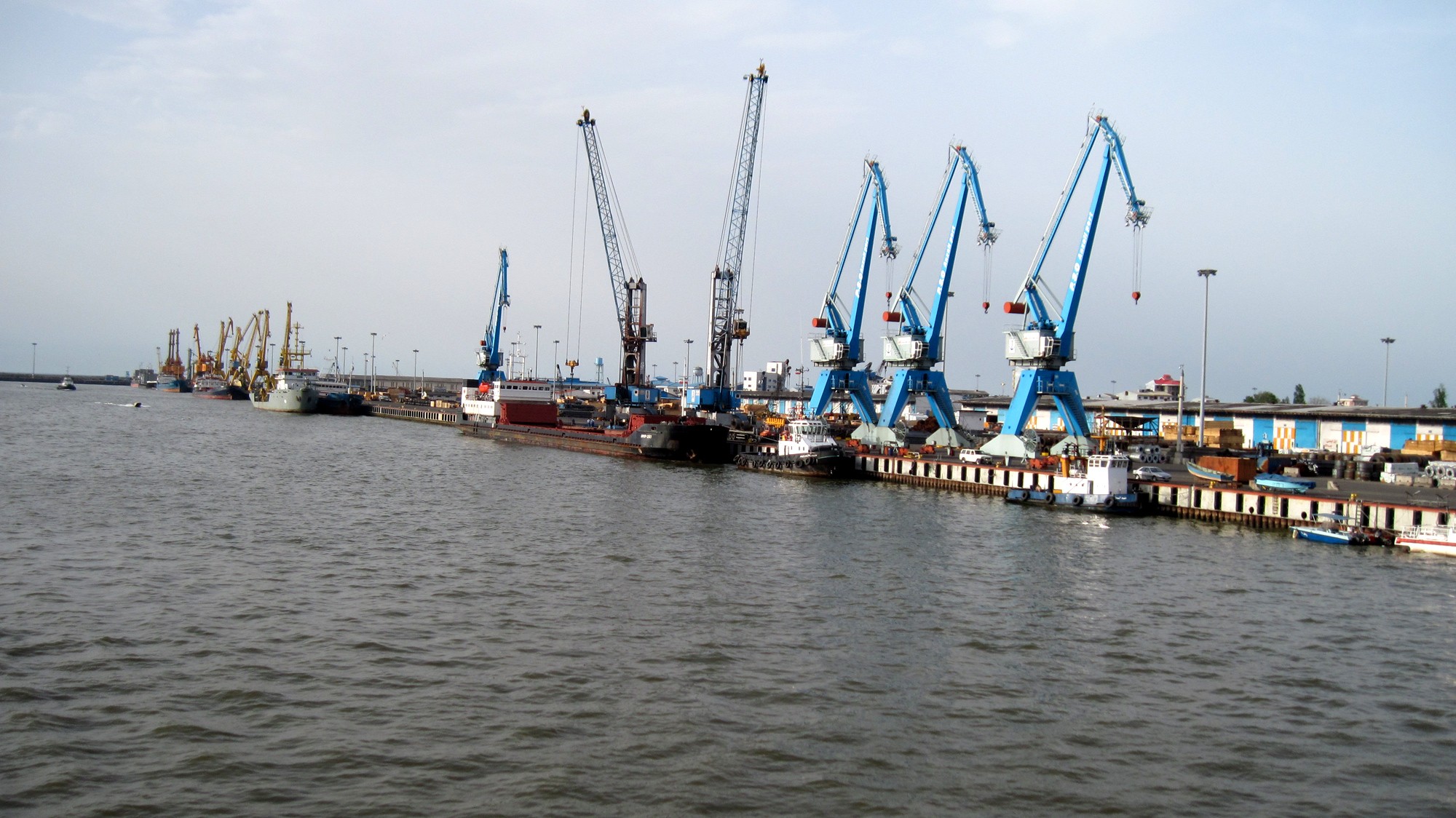
The Chabahar Port deal, therefore, like port development prospects in Bangladesh, is more strategic than mere access collaborations.
While China was poised to maneuver the string of pearls over 18 Hambantota Port in Sri Lanka and Luanda Port in Angola, two very prominent developments in the regional maritime space in the last few months have been very disappointing to Beijing’s interests.
In February, Bangladesh scrapped the China-proposed deep seaport Payra and India seems to have wide options. In May this year, India successfully dislodged Chinese critical ambition in the Persian Gulf through the Chabahar deal.
Chabahar Port is located in the southeastern coast of Iran and is about 72 km away from Gwadar Port of Pakistan. India signed the Chabahar Port agreement with Iran, which analysts call India’s calibrated stroke against China’s expanding regional network.
Net implication, India possibly plucked away few pearls leaving the Chinese string scrambled. In the process, India carefully crafted a reliable Maritime Goodwill Curve in the region that is likely to be complimented with Japanese Capital and Washington’s Asia Pivot equations. China’s “Nine Dashes” claim against all her maritime boundary countries are small countries but sources of tactical relevance to the Indian Maritime Goodwill Curve.
‘Nine Dashes’ is an imaginary U-shaped line within a 1.4-million-square-mile area around South China Sea where China claims sovereignty, which has given rise to territorial disputes between China and other littoral states in the region.
The Philippines has taken the dispute to the UN Permanent Court of Arbitration in The Hague, the Netherlands. While China rubbished The Hague verdict, Washington strongly refutes Chinese claim and a series of legal and historical evidences are traded for claim verification.
Chabahar: Engaging Iran
India’s geographical setting is perceived in the broader canvass of Indian Ocean and its strategic depth in the west spreads through the Gulf of Aden down to the Eastern Coast of Africa through the Strait of Hormuz, and in the East it extends up to the South China Sea, including the Strait of Malacca, and in the south, it expands up to the Antarctic. Conversely, Iranian geostrategic location can add to India’s benefits in securing its national interest and Indo-Iranian partnership, therefore, accords primacy to materialize their objectives in this extended strategic orbit.
India and Iran have signed a dozen agreements ranging from a contract to develop the strategic Chabahar Port; a pact to set up an aluminum plant and one on laying a railroad for India’s connectivity to Afghanistan and Central Asia.
Moreover, India, Iran and Afghanistan also signed a tripartite agreement on Chabahar Port for a land-sea corridor for the transit of goods to Afghanistan and Central Asian countries circumventing Pakistan as well.
It is relevant to mention here that Afghanistan connects it to Central, South and West Asia, and could be a major transit point for trade and energy between India and Iran.
Further, the 217-kilometer Zaranj-Delaram Highway built by India in 2009 is linked with the “Garland Highway” of Afghanistan connecting Zaranj with Kabul, Kandahar, Herat, Mazar-i-Sharif and Kunduz. Thus, Indian and Iranian goods from Chabahar Port across the land corridor of Iran would traverse Zaranj and other cities of Afghanistan through these highways.
Also, goods from Afghanistan would disembark at Chabahar Port through the land corridor of Iran. So, India and Iran can transport their goods to the Central Asian countries by using the land route of Afghanistan.
Chabahar: Springboard to INSTC
Chabahar is the gateway to the International North-South Transport Corridor project which, in terms of time and space, affords better opportunities to India to have access with Europe and Russia.
Experts working in this field opine that the corridor links India and Iran with Europe and Russia involving fourfold transportation process. These are: (a) in the first stage, transshipment of goods from the ports in India to the ports of Bandar Abbas and Chabahar in Iran; (b) in the second stage, transit of goods by the Iranian Railways to the ports of Bandar Anzali and Bandar Amirabad on the shores of Caspian Sea; (c) in the third stage, passage of goods through the Caspian Sea to the port of Astrakhan in Russia and (d) in the fourth stage, transit of goods through road and railroads in Russia across Eastern Europe to Central and Western Europe.
A realistic introspection of the project seems beneficial to all the stakeholders. One major advantage of North-South corridor is that it covers 6,245 kilometers, whereas the present maritime transport route across the Mediterranean Sea and the Red Sea is 16,129 kilometers.
Undoubtedly, the North-South corridor would reduce the cost of transportation by 30% and transit period by 40%.
Further, if this is connected with the ongoing Southeast Asian transport corridor, it would provide an outlet to both India and Iran for better economic integration with other regional economic groupings such as the European Union and the Association of South-East Asian Nations.
However, the realization of the project hinges upon the political will as well as the interest of international investors and transport bidders to undertake such mega projects.